Year 2- 27th October 2025 -Nongsa Marina Batam -Leaving Indonesia for Malaysia
It rained in the night and we had to close the hatches. We woke at 4.45am when the alarm went off and it was still drizzling. We prepared ourselves, took in the electric cable and prepared slips and took off the springs. We slipped the lines at about 5.25am and it was still quite dark although you could see the day was coming.
We eased out of the marina through two sets of buoys and then headed North. Low tide was at 7.00am and we discuss the passage with another yachtsman who suggested what we should do and although the depth would be low we should be ok. The depth in the marina was 3.6m and then it increased and went as low again as 4.4 but then increased and before long we were out of the shallow areas.
The plotter was covered in green of the AIS of hundreds of boats either at anchor or moving about. I had a plan to follow a route South of the shipping lanes to a point almost opposite Sister Island off Singapore and then to cross the shipping lanes as best we could and the continue on the East side of the shipping lanes as they turned North and to keep up that side and up through the Malacca Strait. There were ships moving all over the place and many were anchored as well everywhere sometimes making it difficult to know what was moving or not without closer examination. There were tugs towing, ferries buzzing around going up to 35 kts and fishing boats as well. There were tankers, cargo ships, work ships and all sorts of small boats all of which we had to navigate around and of course avoid any difficulties.
The route I was taking had the advantage of a favourable tide and we were soon zooming along about 9 kts at 1,100 revs. We just kept an eye on everything and it must be a bit like being an air traffic controller but on the water watching all of the movements.
We motored on going from waypoint to waypoint and the day came up but it was grey and drizzly. We avoided a number of tugs and could see the ships to our right going through the shipping channels. We could look over to Singapore and the skyscrapers and could clearly see the hotel with 3 supports which has the swimming pool across the top. We continued on zig zagging a little and it was odd to find some Islands and rocks close to the shipping lanes marked with some little lighthouses.
The VHF radio was chattering away with various messages between ships and the VTS.
We had some tea early on and then some coffee to keep us going and we were making good progress with the help of the tide. At about 7.30am we came to the point where we could think about crossing some of the busiest shipping lanes in the world. We were closest to the Eastbound Lane with the West bound lane about a mile to its North. There was little coming West bound and we saw a large ship using the Westbound lane which had gone in front of us. We then looked at the Eastbound and could see a number of ships in a line and we saw an opportunity between one cargo ship and an oil tanker. At about 07.50am we headed out into the lane and aimed at the bow of the cargo ship and kept aiming at its bow so that when we got close we could head round its stern as it moved in front of us. This alleviated any waste of time as we had to be quite quick to avoid the tanker behind. We could see the oil tanker and if we judged this right we would be well in front of it. We carried on and I increased speed and with the tide and the engine we were doing about 10.6kts. When we were about 150 yards from the cargo ship we aimed at its stern as it passed and away we went across the Eastbound Lane and we were in front of the oil tanker which passed us about 0.3nm away.
We motored on and aimed at a waypoint I had put, which is where the shipping lanes turned toward North with the aim of skirting the shipping lanes up through the Malacca Strait on the East side.
I had been warned about the Singapore Police who patrol Singapore waters. It was not clear to me where they were demarcated and the sailor I spoke to said as long as you keep North of Sister Island you should be ok. As we got toward the waypoint a Singapore Police Patrol vessel came up and called us up. They gave us a course to follow to avoid their waters but this was to take us into the shipping lanes. I queried this and they said it would not be a problem. We followed the instruction and they seemed happy enough and we then came round on to a North-westerly course inside the shipping lane which was quite quiet at this stage. When we needed to turn more Northerly we did so and should have been out of their waters. The advantage of this course was that we were in deeper waters and had the extra flow of the tide in our favour.
Mark and Ruth had taken over by now and we followed the planned course avoiding any shipping as required. Malaysia is one hour ahead and we decided to ignore this for now and we will change the clocks later. We motored on without problem and then we entered and came through the Malacca Strait where Mark & Ruth handed over to Keith and Steve. We were now in Malaysian waters. It was still grey but the rain had stopped. There was little wind and it is not forecast at all today. We will motor on to an anchorage about Pulau Besar about 100nm North. We then plan to go a further 35nm North to Port Dickson.
By about 10.30am we had gone through the Singapore Strait and had entered the Malacca Strait and had gone through the narrow section. We were now motoring up the East side of the shipping lanes and past many cargo ships and takers anchored waiting for a cargo or their next run wherever that will be. I took down the Indonesian flag and could not put up a Malaysian flag as although I have flags of most countries in the world for some reason I did not have a Malaysian flag and will have to get one when we dock so I just put up the Q (Quarantine ) Flag (Yellow Duster) which we have to display until we have checked into the country.
We continued to motor fast as the tide kept with us and we were recording 8’s and 9’s mostly with the occasional 7nm. We kept close to the East hand side of the shipping lane and went between anchored tankers and cargo ships. There were quite a few tugs as well towing loads and a number of dredgers or ships which collect sand.
We had a sandwich lunch and were doing 2 hours shifts so 2 hours on and 4 hours off. It remained grey bit did not rain and we made mile after mile. We planned to anchor and have some sleep rather than continue all night and so we ploughed on.
Ruth made some bolognaise which we had with pasta and broccoli which was nice. We then had a few more hours to go and by about 9.00pm (10.00pm Malaysian Time) ships time we approached Pulau Besar and we could see its outline in the dark. We eased our way in and anchored in about 13.8m of water at 9.19pm. We had made it and travelled 127.7nm in 16 hours which is an average of 7.8 kts. The engine had worked hard and not missed a beat and we only had about 40 nm to go to Admiral’s Marina Port Dickson where we will check in to Malaysia. We had a celebratory beer and put the clocks forward one hour. We collapsed into bed and will be up early tomorrow.
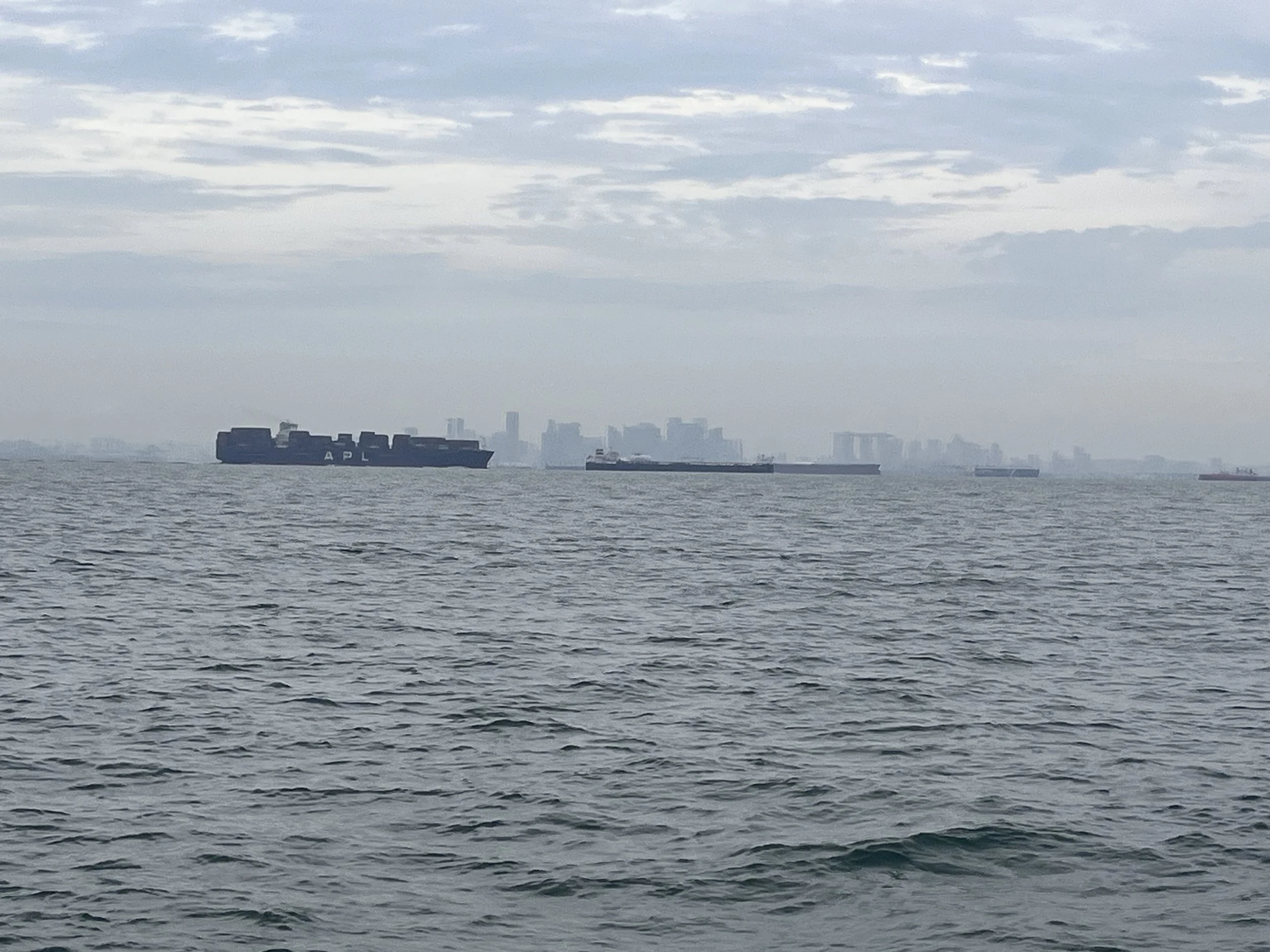
The picture of the day is a grey murky picture of Singapore as we passed it.
Need/Opportunity Year Three
In year three I will be going from Thailand to Sri Lanka, India, Maldives and then on to Chagos, Mauritius, Reunion, Cape Town, St Helena, Azores and back to the UK. I am looking for crew from Mauritius/ Reunion Island to Cape Town and from Cape Town to the UK. If of any interest do email me.
The blog will continue as we continue the journey. If you have any comments or suggestions about the blog then do email me on hine.nick9@gmail.com