Year 2- 20 September 2025 –Gili Air-Lombok to Marina Del Ray – Gili Gede-Lombok
I was woken in the night by the anchor alarm but we were fine. I went back to sleep and woke early in the morning. We were lucky that we had anchored in the middle of everything as we were surrounded by boats moored either side of us and a pier in front. It was good that we did not put out more chain. We had judged it just right which was lucky as we were running out of options the night before.
We had a quick cuppa and thought we would leave quickly as the taxi ferries would get going and annoy us. We upped the anchor and then headed out of the bay and back to Gili Air a small island. This took us about 20 minutes and we then entered the bay on the Southwest of the Island. There were a number of boats moored and others at anchor. There was not much space and we anchored to the left of Yaghan, the other HR 62. However, due to the depth and space restrictions we again only put out 3 times the depth but we held.
The bay was pretty with a large reef with blue water to the west and a smaller reef to the East. We all had a swim as it was quite hot and the water was teeming with fish. The Gili Islands are now mostly tourist destinations now. They were used by the Japanese as look outposts and prison camps. We invited Anders and Nilla of Yaghan over for a coffee. They came shortly thereafter and we had a good catch up and chat.
Once they left we had another swim and relaxed. However, we decided to leave about 11.30am as we wanted to get down to Marina Del Ray in good time, some 28nm away. We came out the bay and then headed South. Initially there was a lot of traffic coming from Lombok to the Gili Islands which we had to avoid. After some time the traffic eased and the wind increased but unfortunately it was on the nose so we could not sail. We decided to sail North to a point when we could sail across at the right angle to the edge of the Islands where we were going. We were going down to the South of Lombok and approaching the Lombok Strait.
The Lombok Strait is a strait of the Bali Sea connecting to the Indian Ocean, and is located between the islands of Bali and Lombok in Indonesia. Its narrowest point is at its southern opening, with a width of about 20 km (12 miles) between the islands of Lombok and Nusa Penida, in the middle of the strait. At the northern opening, it is 40 km (25 miles) across. Its total length is about 60 km (37 miles). As it is minimum 250 m (820 feet) deep, much deeper than the Strait of Malacca—ships that draw too much water to pass through the Malacca Strait often use the Lombok Strait, instead. The Lombok Strait is notable as one of the main passages for the Indonesian Throughflow (ITF) that exchanges water between the Indian Ocean and the Pacific Ocean.
Biologists believe it was the depth of the Lombok Strait itself that kept the animals on either side isolated from one another. When sea levels dropped during the Pleistocene ice age, the islands of Bali, Java and Sumatra were all connected to one another and to the mainland of Asia. They shared the Asian fauna. The Lombok Strait's deep water kept Lombok and the Lesser Sunda archipelago isolated from the Asian mainland. These islands were, instead, colonised by Australasian fauna.
The Lombok Strait is notable as one of the main passages for the Indonesian Throughflow (ITF) that exchanges water between the Indian Ocean and the Pacific Ocean. The formation of the Lombok Strait is influenced by oceanic tidal mixing, heat content of the water masses, and seasonal changes. As the Lombok Strait is situated between Bali and Lombok, it is an exit way for the Indonesian Throughflow (ITF) which connects the Pacific Ocean and the Indian Ocean. As a result of this, oceanic tidal mixing occurs. Oceanic tidal mixing occurs in shallow seas and near-coastal areas. Tidal mixing can induce an oscillation in sea surface temperatures(SST) during the near-fortnightly spring-neap period. Tidal mixing in the waters of the Indonesian archipelago is particularly intense due to the rough topography.
In some weather the waves can get to be as high as 4-5m and it can be very rough so we hope we will not encounter those conditions. We motored on and after about an hour and a half we put up the genoa and set a course to the end of the Gili Gede Island. This was an enjoyable sail and we made good progress over the next hour and a quarter. The wind was not forecast but strong but the sea was calm and we managed to sail up to 8.4 kts at one point on just the genoa which was quite respectable.
Once we got to the end of the island we put down the sail and then motored South down the Island. We were surprised to see a lot of fish farms laid out which we had to navigate round. We then came to the marina which is really a large pontoon you can moor off on either side. There are quite a lot of mooring buoys around it. We found a spot to anchor outside the buoys. The wind was still 14-16 kts and we enjoyed the breeze and had a sundowner.
The ladies cooked a Spaghetti Bolognaise which was enjoyable. We are going into the marina tomorrow for 2 nights which will be a change.
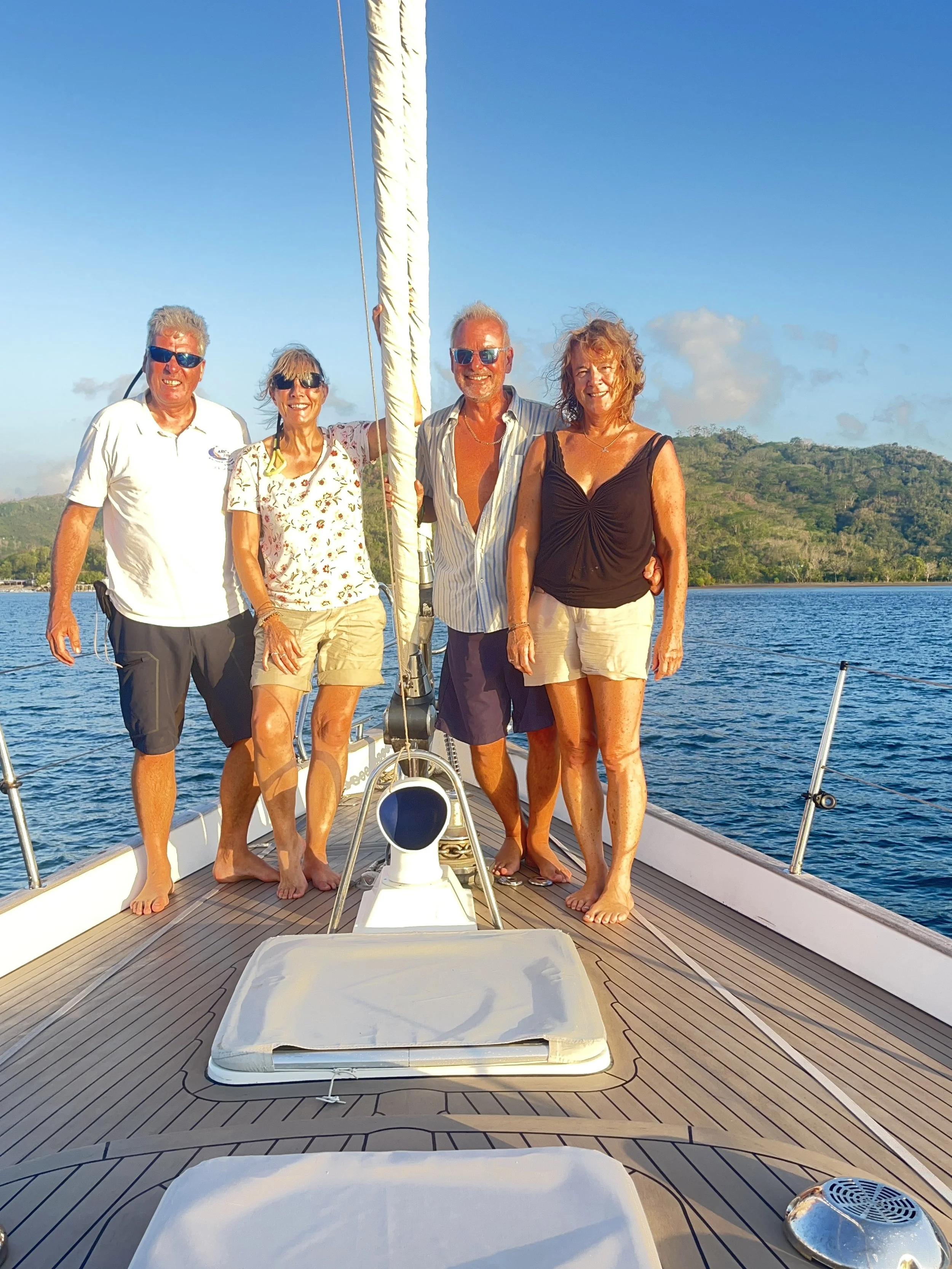
The picture of the day is 4 of us on the aft deck after a sundowner.
Need/Opportunity Year Three
In year three I will be going from Thailand to Sri Lanka, India, Maldives and then on to Chagos, Mauritius, Reunion, Cape Town, St Helena, Azores and back to the UK. I am looking for crew from Mauritius/ Reunion Island to Cape Town and from Cape Town to the UK. If of any interest do email me.
The blog will continue as we continue the journey. If you have any comments or suggestions about the blog then do email me on hine.nick9@gmail.com