Year 2- 16th October 2025 – Kumai -Borneo-Kalimantan – Belitung Island
The Adhan started at 4.00am but I managed to doze on and the alarm woke me at 4.45am and I got up as did Keith, Mark and Ruth. Mark made the tea and we upped the anchor and managed to leave at 5.05am when it was still getting light. We had judged it well as we had 2 kts at least of current with us so we were motoring at about 9.3 kts staying in the middle of the river.
There was little traffic apart from a ferry in front of us and the day was turning out quite nicely. The sun came up gradually and we made good progress and by about 8.00am we were out of the river and looking to see if we could sail. The wind was too light to start with so we continued to motor with the tide under us, not as strong in the river but still helpful. We saw a few small fishing boats outside the river but otherwise there was little traffic to start with.
We had breakfast and Steve and I handed over at 8.00am to Mark and Ruth. By about 8.45am the wind was nudging 9 kts and we tried to put up the blue baron but the wind died a little and this proved to be difficult. We therefore took it down and we continued to motor but by 10.20am the wind suddenly increased to 16/17 kts so up went the genoa and we were soon sailing along between 7-8kts as the angle was quite a good one. We noticed Aquacadabra, one of the rally yachts behind us.
The sail to Belitung is about 280 nm away more or less heading west and we aim to arrive on the morning of the 18th subject to how much we can sail.
Belitung (formerly Billiton) is an island on the east coast of Sumatra, Indonesia in the Java Sea. It covers 4,859 km2 (1,876.1 sq mi) (including offshore islands such as Mendanau Island), and had a population of 320,500 at the 2023 Census. Administratively, it forms two regencies (Belitung Regency and East Belitung Regency) within the province of Bangka-Belitung Islands. The island is known for its pepper and for its tin. It was in the possession of the United Kingdom from 1812 until Britain ceded control of the island to the Netherlands in the Anglo-Dutch Treaty of 1824. Its main town is Tanjung Pandan. The United Nations Educational, Scientific and Cultural Organization has declared 17 tourist attractions in the Belitung Geopark as world geoparks. Belitung is a religiously diverse island. Sunni Islam is the most widely practiced religion, with sizeable minorities of Buddhists, Christians and Confucianists.
Belitung consists of moderately rugged terrain and several hills. The highest point is Mount Tajam, with a height of less than 500 metres (1,600 ft). The maritime boundaries of the province include Bangka Strait to the west, Karimata Strait to the east, Natuna Sea to the north, and the Java Sea to the south. The Gaspar Strait runs north–south (between the islands of Bangka and Belitung), connecting the Java Sea to the Natuna Sea and, further north, the South China Sea. Its surrounding turquoise blue seas are moderately calm and shallow, making for great sailing, snorkelling and swimming. Belitung is popular for its abstract granite boulders and brilliant, white-sand beaches in Tanjung Tinggi, Tanjung Kelayang, Tanjung Binga and Lengkuas island. Belitung is a source of tin, clay, iron ore and silica sands. The Dutch mining company NV Billiton Maatschappij derives its name from the island's name. Billiton merged with BHP in 2001 to form BHP Billiton.
The island is also a producer of fishery products, pepper, coconut, and palm oil. People work as farmers, fishermen and miners. The white sand beaches and offshore islands are helping tourism to become a larger part of the economy.
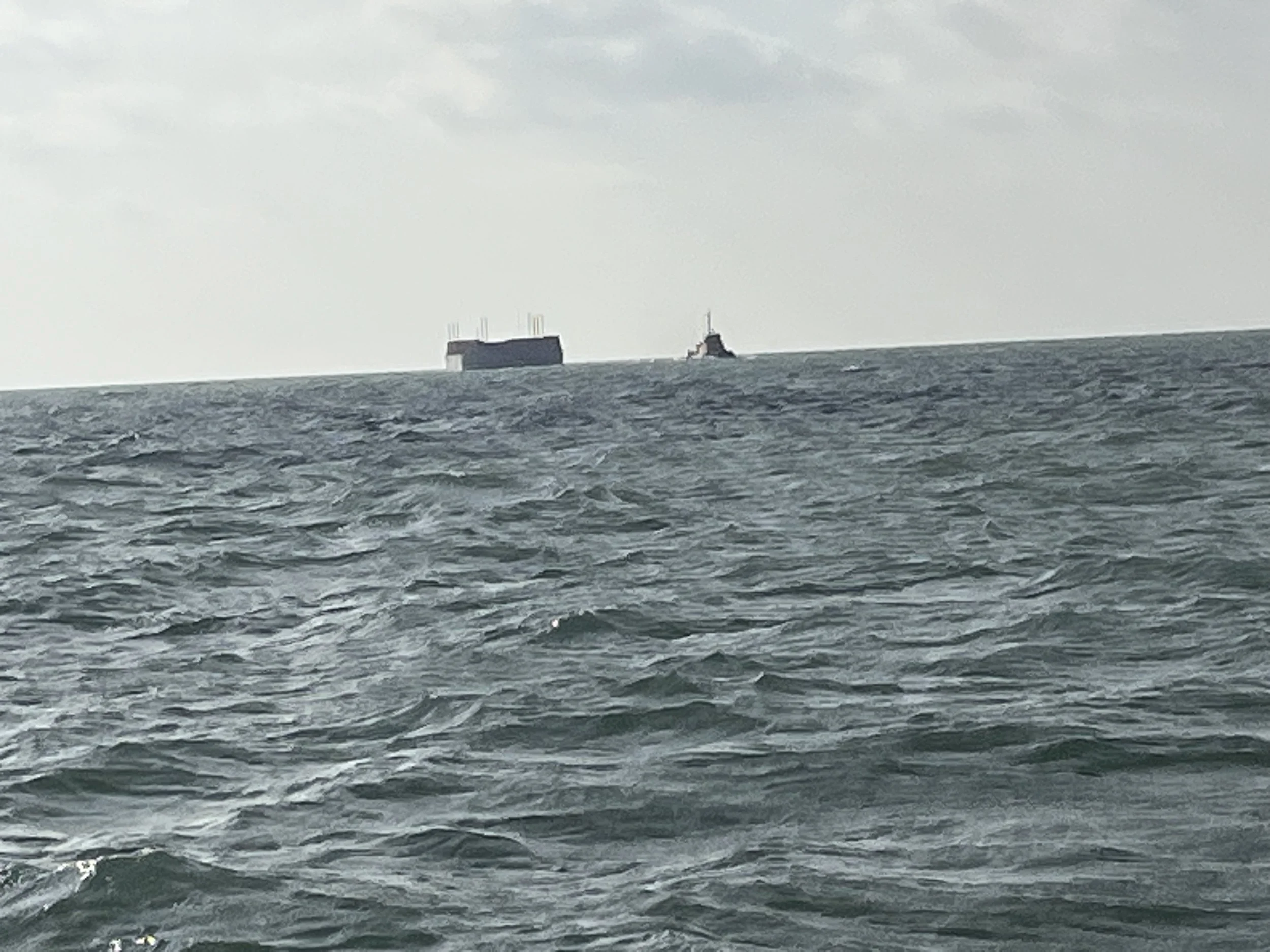
We sailed on all morning but there was about a 1m swell which was annoying and rolled us a bit but then we were able to use the swell to propel us forward. Steve and I were on again and did the 12.00noon to 4.00pm watch. During this watch we had to be careful of a number of tugs towing huge barges with more than 200m tow lines and at one point we had 5 around us and we managed to slot in between 2 of them without issue. There are obviously a lot around this area as we experienced them when we came to Kumai.
We sailed on but then we had to change our angle so that the wind was more from behind. The issue with this it is a little slower and with the roll it can back the sail. We made the best course we could and sailed on as if we can keep sailing we are moving and saving fuel. We are not in a rush. The weather was warm but cloudy and over to our East were some towering clouds. The issue was that the wind bore no resemblance to what Predictwind said it would be. However, make hay while the sun shines so the extra wind was very helpful. They estimated the wind would be up to 10kts only and some none at all. We were seeing 17-23 kts.
We were getting into the shift patterns now and the boat rhythm. Keith made tuna with mash and carrot and ginger puree for supper which was all eaten in a flash and everyone enjoyed it. We settled down for the night with the wind holding although off to the North were thunderstorms which hopefully will not come our way. We are now down to about 5 kts boat speed but at least we are sailing.
The picture of the day is a tug and a large container heading toward us.
Need/Opportunity Year Three
In year three I will be going from Thailand to Sri Lanka, India, Maldives and then on to Chagos, Mauritius, Reunion, Cape Town, St Helena, Azores and back to the UK. I am looking for crew from Mauritius/ Reunion Island to Cape Town and from Cape Town to the UK. If of any interest do email me.
The blog will continue as we continue the journey. If you have any comments or suggestions about the blog then do email me on hine.nick9@gmail.com